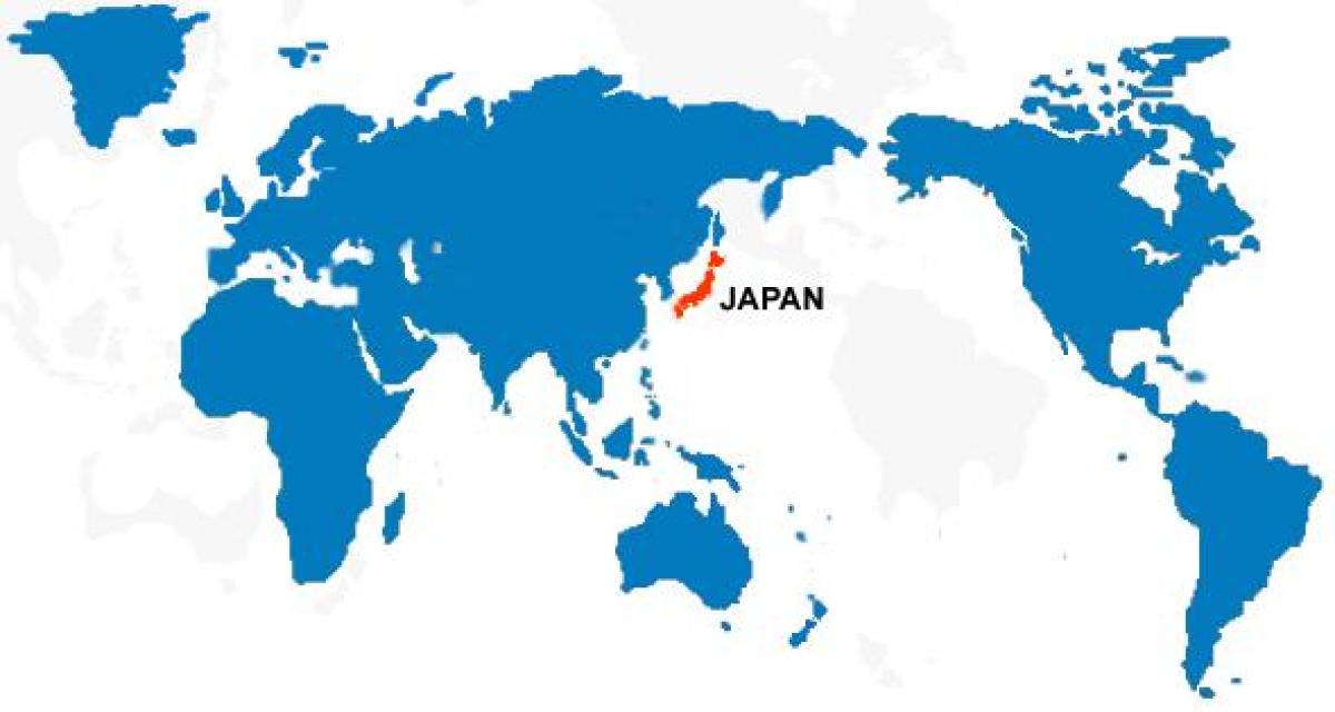
Japan is basically a tiny string of islands on the edge of the world's largest ocean, right? Well, it depends on who you ask and, more importantly, whose map you are looking at. If you grew up in the West, you probably picture Japan tucked away in the top right corner of a map, almost like an afterthought. But if you walk into a classroom in Tokyo, the world map of Japan looks radically different. The Pacific Ocean isn't a border; it’s the center of the universe.
Maps aren't just objective facts. They are stories.
The Pacific-Centric View vs. The Atlantic Bias
Most of us are victims of the Mercator projection. It's that classic map where Greenland looks the size of Africa (spoiler: it isn't) and Europe sits right in the middle. This is the Atlantic-centric view. It makes sense for trade between London and New York, but it makes Japan look like a peripheral player on the "Far East" fringe.
In Japan, they use a Pacific-centered map.
Think about that for a second. When Japan is in the middle, the Americas are on the right and Eurasia is on the left. Suddenly, Japan isn't "the edge." It’s the gateway. This perspective shift changes how you view geopolitical power. For a country that is roughly the size of California but holds the world's fourth-largest economy, being at the center of the map feels a lot more accurate to their actual influence.
Honestly, the term "Far East" is kinda insulting when you think about it. Far from where? London? If you’re standing in Kyoto, London is the "Far West."
Why the World Map of Japan Actually Matters for Travelers
If you’re planning a trip, looking at a world map of Japan through a local lens helps you realize how isolated—and yet connected—the archipelago really is. You've got the Sea of Japan (which Korea insists on calling the East Sea, but that’s a whole other diplomatic mess) separating the islands from the mainland.
Then you have the sheer length of the place.
People think Japan is small. It’s not. If you superimposed Japan onto the East Coast of the United States, it would stretch from Maine all the way down to the Florida Panhandle. That is a massive range of climates. You can be skiing in the deep powder of Hokkaido in the north while someone else is literally snorkeling in the tropical reefs of Okinawa in the south. All in the same country. All on the same day.
The Ring of Fire Reality
You can't talk about Japan’s place on the map without mentioning the tectonic nightmare it sits on. Japan is located where four major plates—the Pacific, Philippine, Eurasian, and North American plates—all decide to have a wrestling match.
- This is why there are over 100 active volcanoes.
- It's why the country gets hit by roughly 1,500 earthquakes a year.
- It's also why the onsen (hot spring) culture is so incredible.
Without the volatile geography shown on a geological world map of Japan, you wouldn't have the iconic silhouette of Mount Fuji. You also wouldn't have the terrifyingly efficient disaster prevention infrastructure that the rest of the world tries to copy.
The Cartography of Power and Names
Geography is political. Always has been.
Take the Kuril Islands to the north. If you look at a map printed in Russia, they belong to Russia. If you look at one printed in Tokyo, the "Northern Territories" are Japanese. They’ve been arguing about this since the end of World War II, and there still isn't a formal peace treaty between the two nations because of these tiny dots on the map.
Then there are the Senkaku Islands in the East China Sea. China calls them the Diaoyu Islands. Tensions there get so high that coast guard ships play a constant game of chicken. When you look at a world map of Japan, you aren't just looking at landmasses; you're looking at active legal disputes that could spark a global conflict.
It's Not Just One Island
A common mistake? Thinking Japan is just "the big island."
Japan is actually an archipelago of nearly 7,000 islands. Most are uninhabited rocks, but the "Big Four"—Honshu, Hokkaido, Kyushu, and Shikoku—make up about 97% of the land.
- Honshu: The big one. Tokyo, Osaka, Kyoto. The heart of everything.
- Hokkaido: The wild north. Bears, milk, and incredible seafood.
- Kyushu: The fiery south. Active volcanoes and the gateway to Asia.
- Shikoku: The quiet one. Famous for the 88-temple pilgrimage.
Lately, the Japanese government actually recounted their islands using digital mapping technology. They found about 7,000 more islands than they previously thought they had. Imagine just losing 7,000 islands in your paperwork for thirty years.
How to Read a Japan Map Like a Local
If you want to understand the layout, stop looking for "states." Japan uses "prefectures." There are 47 of them.
Some are huge, like Hokkaido. Some are tiny, like Kagawa. But each one has a distinct identity, a specific dialect (ben), and a "meibutsu" or famous local product. In Aomori, it's apples. In Shizuoka, it's green tea. In Hiroshima, it's oysters and okonomiyaki.
The geography dictates the food. The mountains cover about 70% of the land, which is why everyone is crammed into the narrow coastal plains. That’s why Japanese cities are so dense. You can't build out; you have to build up. Or you have to carve a tunnel through a mountain, which Japan does better than almost anyone else on earth.
Actionable Steps for Your Next Geographic Deep Dive
Don't just stare at a Google Map and call it a day. If you want to actually grasp the world map of Japan, you need to engage with it differently.
- Switch your perspective. Go find a Pacific-centered map online. It will break your brain for about five minutes, and then everything will start to make more sense regarding why Japan cares so much about South Pacific trade routes.
- Check the topography. Use a 3D map tool like Google Earth to look at the Japanese Alps. You'll realize why the Shinkansen (bullet train) is such an engineering miracle—it's basically just one long series of tunnels and bridges.
- Learn the "Regions." Don't just memorize prefectures. Learn the eight regions (Tohoku, Kanto, Kansai, etc.). It’s how weather reports, rail passes, and cultural identities are organized.
- Download a Tsunami Warning App. If you're actually going there, the geography becomes a safety issue. Apps like "Safety tips" by the Japan Tourism Agency use your location on the map to give real-time alerts.
The world map of Japan is a lesson in how much "where you stand" dictates "what you see." It’s a country defined by its borders—the sea—and yet it has spent centuries trying to transcend those borders through technology and culture. Whether it’s through the lens of a geologist looking at fault lines or a historian looking at disputed territories, Japan remains one of the most complex puzzles on the globe.